Licensed Drone Services in Michigan
DET3D is proud to offer licensed commercial drone services to customers in Michigan, delivered by our FAA-licensed commercial drone pilots. Whether you need breathtaking aerial photography, immersive videography, or precise photogrammetry, our expert team is here to deliver exceptional results. With state-of-the-art drone technology and industry-leading techniques, we capture stunning visuals that bring your project to life. From detailed mapping to cinematic footage, we ensure every shot is sharp, accurate, and impactful. No matter the scale or complexity of your needs, our experienced pilots and advanced equipment are ready to provide the high-quality aerial solutions you can trust.

Fast and precise orthographic imaging captures locations with exceptional clarity, making it ideal for real estate, construction, agriculture, and site analysis. DET3D offers high accuracy drone mapping with RTK and PPK technology, achieving precision down to a few centimeters. This makes our services perfect for visual planning, measurements, and progress tracking.
While we are not licensed surveyors and do not provide legal boundary surveys, our drone mapping services deliver detailed and reliable data to support smarter decision-making for any project. With our experience and cutting-edge technology, DET3D provides Michigan-based drone services that bring efficiency, accuracy, and innovation to every job.
Drone Services we offer:
- Aerial Photography
- Aerial Videography
- Aerial Site Mapping Orthomosaics (Reference or High Accuracy with RTK/PPK)
- 3D Models (Digital Twins)
- Site Progression Photos/Videos/Orthomosaics
- & More
Drone Mapping Services for Construction
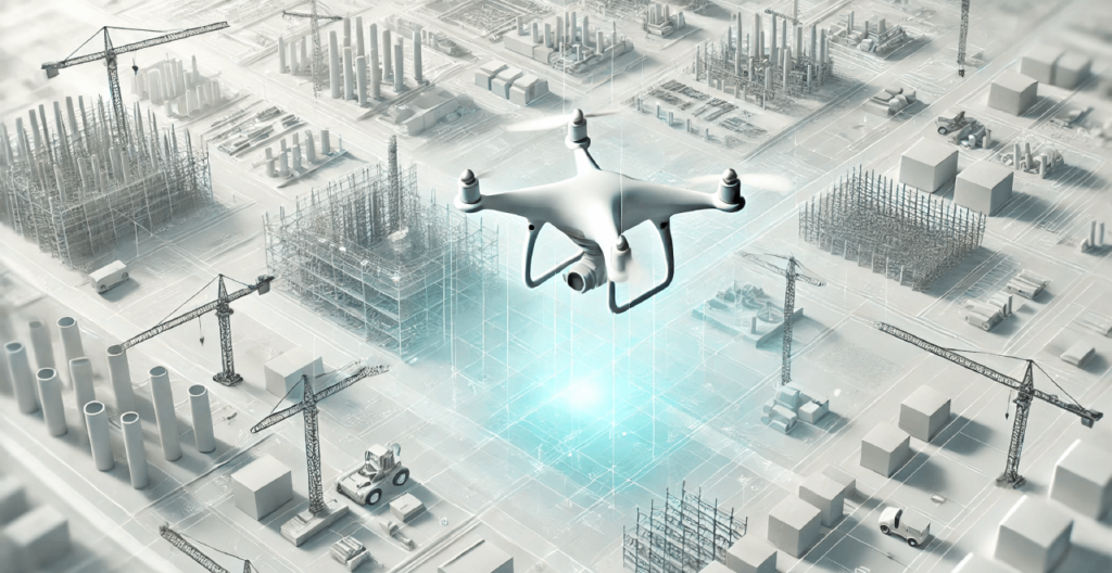
Stay ahead of your construction projects with high-resolution drone mapping. Our aerial site maps provide accurate progress tracking, 3D digital twins, and detailed orthomosaics so you can plan smarter, reduce costs, and eliminate guesswork. No matter if you require weekly site updates, volume calculations, or safety inspections, DET3D provides fast and reliable data, ensuring your team stays on track and informed.

- Maximize efficiency by streamlining data collection and inspections, ensuring faster and more accurate results.
- Reduce overall costs by minimizing labor, cutting down on equipment usage, and eliminating unnecessary material waste.
- Improve workplace safety by limiting worker exposure to hazardous areas and reducing the risk of on-site accidents.
- Enhance precision by utilizing high-resolution aerial data and advanced mapping techniques for better decision-making.
- Gain a competitive edge by leveraging cutting-edge visuals and powerful data-driven insights that set your business apart.
3D Digital Twins for Construction Projects
Transform your construction site with precise 3D digital twins. Using cutting-edge drone technology, we create lifelike, interactive models that let engineers, architects, and project managers explore, measure, and analyze sites remotely. These detailed models streamline progress tracking, enhance team collaboration, and cut down on costly rework.
Aerial Site Monitoring with Drones
Say goodbye to outdated site photos and embrace real-time aerial monitoring for a clearer perspective. Through our advanced drone services, we deliver up-to-date views of your entire project or farmland with unmatched accuracy. By scheduling weekly or monthly drone scans, you gain the ability to track earthworks, monitor material stockpiles, and oversee site progress effortlessly. With high-resolution aerial images and detailed 3D models, project managers can make faster, smarter, and more data-driven decisions.
Construction Site Progress Tracking with Drones
Stay ahead with real-time construction site tracking using drones. Instead of waiting for outdated reports, access instant updates on earthwork progress, material movement, and site changes. Automated reports and high-resolution aerial imagery provide clear insights for faster decision-making.
Construction Site Safety Mapping with Drone Technology
Boost construction site safety and efficiency with high-accuracy drone mapping services from DET3D. Our aerial maps help construction teams identify hazards such as unstable ground, overhead risks, and restricted areas, while also highlighting safe zones for equipment staging, crew parking, and key points of interest like emergency exits and first aid stations. With up-to-date, georeferenced imagery, project managers and safety coordinators can make informed decisions, reduce the risk of on-site accidents, and improve communication through easily shareable visuals for safety briefings and planning. DET3D’s drone mapping solutions enhance construction site safety, streamline operations, and support OSHA-compliant workflows across any job site.
Precision Farming Drone Services
Farming just got smarter! Our precision agriculture drone services give you real-time insights into your fields, helping you make data-driven decisions that increase yields and reduce input costs.

- Detect crop health issues early with precision imaging that pinpoints irrigation problems and pest infestations.
- Accelerate decision-making by scanning expansive farmland in minutes, delivering real-time insights.
- Improve efficiency by optimizing water and fertilizer use, reducing waste while enhancing crop yields.
- Reduce manual labor by remotely tracking livestock, improving monitoring while saving valuable time.
Drone Mapping for Construction and Agriculture
Why invest days in traditional ground surveys when drone technology can capture high-precision topographical data in just hours? By leveraging advanced aerial maps, we deliver accurate elevation models, detailed land contours, and precise volumetric measurements, making construction planning, land development, and agricultural management more efficient. From terrain analysis for new builds to crop mapping for improved yield optimization, our solutions provide the data you need to make informed decisions faster.
Orthomosaics for Agriculture
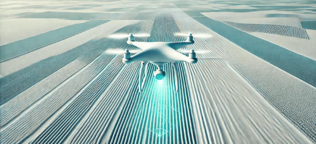
Get a highly detailed, bird’s-eye view of your farm with our agricultural orthomosaic mapping services. We stitch together thousands of ultra-high-resolution drone images to create a single, accurate map of your land. These maps help farmers and agronomists monitor crop health, identify problem areas, and improve land management with precision.
Custom Aerial Solutions Tailored for Your Needs
Recognizing that every project has unique requirements, we customize our aerial drone services to match your specific goals. From capturing high-resolution real estate imagery to outlining large property boundaries or producing detailed orthomosaics, we deliver accuracy, clarity, and efficiency in every capture.

Our drone technology goes beyond visuals to provide valuable insights. With a bird’s eye view, we can map out entire buildings and parking lots, revealing issues and details that are often missed from ground level. Using our orthomosaics, we can quickly measure and calculate square footage for tasks such as pavement resurfacing, roof/brick/building repairs, and landscape planning. This allows for fast, informed decision-making and precise estimates.
We also specialize in tracking building renovations and construction progress through each phase. Our innovative techniques, combined with a skilled team of FAA licensed pilots and digital media artists, enable us to provide rapid turnarounds and exceptional results that impress and inform.
- Showcase properties from above with stunning aerial photography and high-definition video that attract buyers.
- Create immersive virtual tours that allow potential buyers to explore properties from anywhere with ease.
- Increase inspection accuracy with fast, high-resolution drone assessments that provide immediate insights.
- Support land development projects with precise aerial mapping and 3D modeling for better planning.
- Minimize safety risks by using drones for rooftop and structural inspections, eliminating unnecessary hazards.
Reach Out to Start Your Project Today!
Since every project has distinct requirements, we carefully customize our rates to align with your specific needs, ensuring the best value and precision for your goals. From high-quality aerial photos and videos with fast turnaround times to detailed orthographic images for site analysis or advanced 3D models for project tracking, we provide customized solutions that ensure accuracy, efficiency, and exceptional results. Let us help bring your vision to life with our professional drone services. Contact us today for a personalized quote!
Why Choose Our Drone Services?
- Increase productivity by streamlining data collection and speeding up inspections for faster results.
- Cut expenses by optimizing labor, reducing equipment use, and eliminating unnecessary material waste.
- Strengthen workplace safety by keeping workers out of high-risk areas and minimizing exposure to hazards.
- Achieve greater precision with high-resolution aerial data and advanced mapping for more informed decision-making.
- Stay ahead of the competition by utilizing cutting-edge visuals and data-driven insights to elevate your business.
Book us today to elevate your vision with Michigan’s best drone services!
Meet the Fleet: Our Current Drone Lineup
FLYNT | DJI Air 3S | Aerial Photography, Videography, and Mapping
KEEWEE | DJI Avata 2 | Aerial Photography & Videography for tight and indoor spaces
ORTHOSOO | DJI Matrice 4 Enterprise | Precision Mapping, Aerial Photography, and Videography
 ORTHOSOO | DJI Matrice 4 Enterprise
 FLYNT | DJI Air 3S
 KEEWEE | DJI Avata 2
Why It Matters to Work With Certified Drone Professionals
At DET3D, every drone flight is conducted by an FAA certified Part 107 remote pilot. This certification ensures we follow strict standards for safety, airspace awareness, and data accuracy. When you work with us, you can feel confident that your project is being handled with professionalism and care.
Hiring a certified team also helps protect your business. The FAA requires all commercial drone operators to hold a Part 107 license. Companies that do not meet this requirement may face significant fines and legal issues. By choosing DET3D, you are partnering with a team that prioritizes compliance, reliability, and quality.
Our goal is to make your project seamless, safe, and successful from start to finish.


